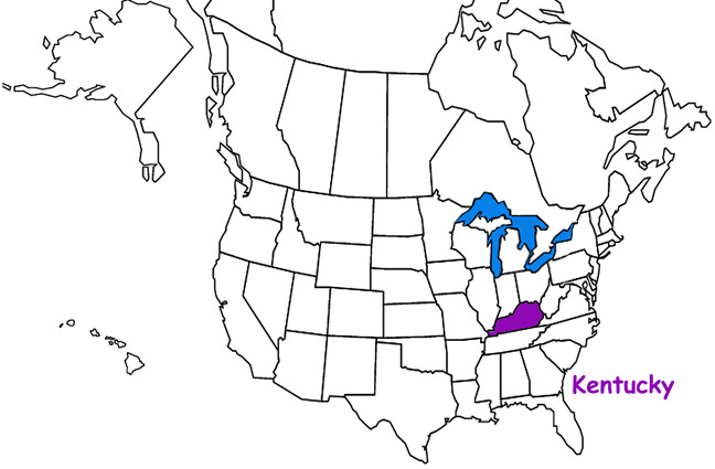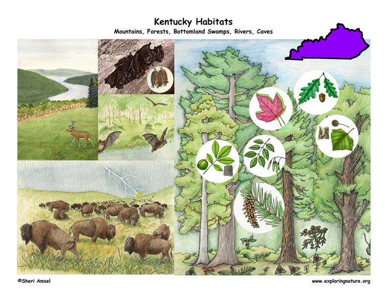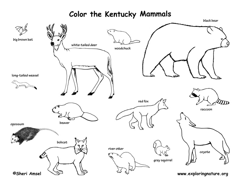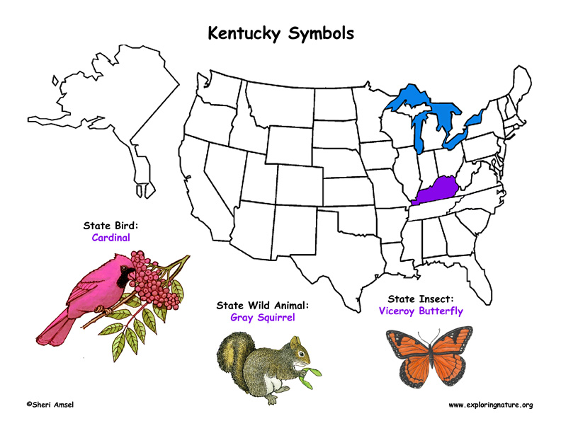

Kentucky is a state of forests, prairies, wetlands, and caves and the only state bordered on three sides by rivers – the Mississippi River in the west, the Ohio River in the north, and the Big Sandy River and Tug Fork in the east. Kentucky has about 12.5 million acres of forest covering almost half the state. Almost 90% of Kentucky' forest is owned privately. 75% of the forest is oak-hickory, though the most numerous tree species found in Kentucky’s forests is red maple. Kentucky, like many states, has lost much of its native habitats. It once had extensive wetlands in the floodplains of the Mississippi and Ohio Rivers, but generations of coal mining and ecologically damaging agricultural activities have destroyed most of them. Its native prairies and savannahs have also disappeared with less than 1% of the original 2-3 million acres of grassland remaining today.
Kentucky is often divided into five primary regions.
1. The Cumberland Plateau forms the southeastern section of the state and is part of the southern Appalachian Plateau west of the Appalachian Mountains. It has large stretches of oak-hickory-pine forests on dry, upland sites and is considered the most heavily forested part of the state. It is also rich with biodiversity - many different species of plants, animals and fungi.
2. The Bluegrass Region is found in north-central Kentucky and was historically vast native prairie (all grass) and savannah (grassland with a scattering of huge oaks). It was home to the American bison and elk. The fertile land and relatively mild winters made this the settlement region of choice for the pioneers. Even today it is the most populated part of Kentucky. The Bluegrass region is often broken-down into two regions. The Inner Bluegrass includes Lexington and a 90-mile circle around it. The Outer Bluegrass forms a donut around that and is made up of short, steep, narrow hills.
3. The Pennyroyal Plateau (or Mississippi Plateau) is found in south-central and western Kentucky. It is rolling hills good for farming and has caves beneath.
4. The Western Coal Fields are in the west-central part of the state and are surrounded on three sides by the Pennyroyal Plateau as if held in a cupped hand. They are made up of sandstones, shales and coal seams.
5. The Jackson Purchase makes up the western corner of the state and is bordered by the Mississippi River to the west, the Ohio River to the north, and Tennessee River to the east making it a region rich bottomland swamps. It was bought from the Chickasaw Indians in 1818.
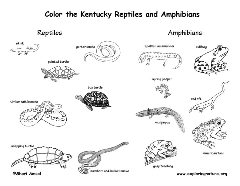
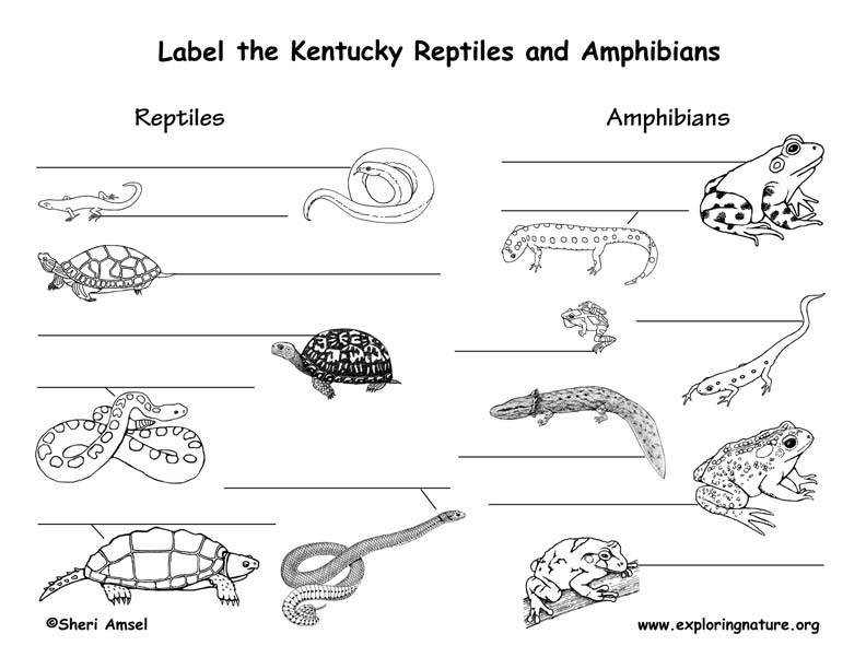
Amphibians
Reptiles
For more information about Kentucky Amphibians and Reptiles (including Latin names) click on individual animal links or for another (off-site) resource: LINK
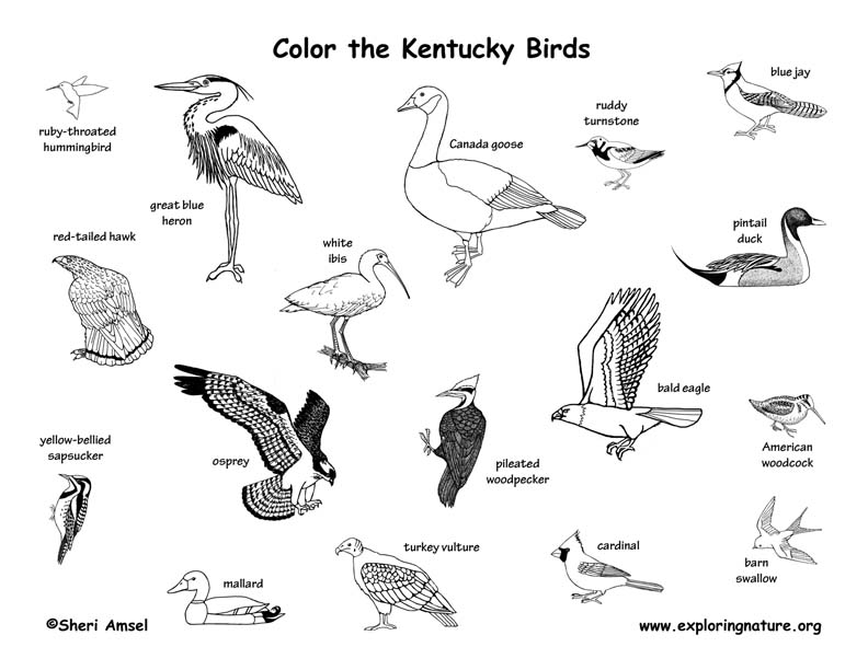
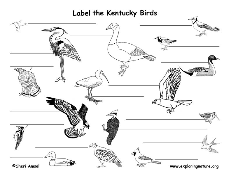
For more information about Kentucky birds (including Latin names) click on individual animal links or for another (off-site) resource: LINK
When you research information you must cite the reference. Citing for websites is different from citing from books, magazines and periodicals. The style of citing shown here is from the MLA Style Citations (Modern Language Association).
When citing a WEBSITE the general format is as follows.
Author Last Name, First Name(s). "Title: Subtitle of Part of Web Page, if appropriate." Title: Subtitle: Section of Page if appropriate. Sponsoring/Publishing Agency, If Given. Additional significant descriptive information. Date of Electronic Publication or other Date, such as Last Updated. Day Month Year of access < URL >.
Amsel, Sheri. "Kentucky Habitats, Mammals, Birds, Amphibians, Reptiles" Exploring Nature Educational Resource ©2005-2024. December 13, 2024
< http://www.exploringnature.org/db/view/Kentucky-Habitats-Mammals-Birds-Amphibians-Reptiles >
